Introduction
Imagine having a navigation system so precise it can guide you to a parking spot the size of a teacup. Meet the BeiDou Navigation Satellite System—China’s groundbreaking alternative to GPS. While you’ve probably heard of GPS (the U.S. system) or Russia’s GLONASS, BeiDou is shaking up the game with features that are uniquely its own. Let’s break down why this tech marvel is making waves!
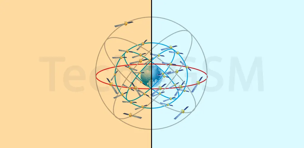
What Exactly is the BeiDou System?
Think of BeiDou as China’s homemade GPS. Just like GPS, it helps you navigate roads, track shipments, or even time-stamp financial transactions. But here’s the kicker: BeiDou isn’t just one system—it’s two. Unlike GPS, which relies on a single constellation of satellites, BeiDou uses two separate networks:
- Regional Coverage (BDS-1 and BDS-2): Focused on Asia, providing basic navigation.
- Global Coverage (BDS-3): Launched in 2020, this expanded BeiDou’s reach worldwide.
This dual setup means better reliability. If one network faces issues, the other can step in—a genius backup plan for critical services like aviation or disaster response.
Pinpoint Accuracy? Try Millimeter Precision!
GPS is accurate to about 3-5 meters for everyday use. BeiDou matches that, but here’s where it gets wild: with post-processing (a technique that refines data after collection), BeiDou claims millimeter-level accuracy. Yes, millimeters! How?
- Advanced Satellites: BeiDou’s satellites use high-frequency signals and cutting-edge atomic clocks.
- Ground Stations: Hundreds of stations worldwide correct signal errors in real-time.
- Post-Processing: Engineers analyze data afterward to eliminate tiny discrepancies.
This precision is a game-changer for tasks like monitoring tectonic plate movements, guiding construction robots, or even ensuring self-driving cars don’t bump into your mailbox!
Why Should You Care?
BeiDou isn’t just about maps on your phone. It’s quietly powering innovations:
- Farming: Tractors plant seeds with centimeter accuracy, boosting crop yields.
- Disaster Relief: Rescuers use BeiDou’s text-messaging feature (yes, it does that!) in areas with no cell service.
- Smart Cities: Traffic lights adjust in real-time to reduce jams.
The Bigger Picture
BeiDou isn’t just a navigation tool—it’s a symbol of China’s tech independence. By reducing reliance on foreign systems, China boosts its security and economy. Plus, developing countries are adopting BeiDou as a cost-effective GPS alternative.
So next time you use a maps app, remember: there’s more than one way to navigate the globe. And BeiDou? It’s doing it with double the satellites and precision that’s almost science fiction!