Introduction
Ever lost GPS signal in a city packed with skyscrapers? Tall buildings can block satellite signals, leaving your map app confused. Japan faced this problem too—and fixed it with QZSS (Quasi-Zenith Satellite System)! Let’s explore how this clever system keeps Japan’s navigation on track.
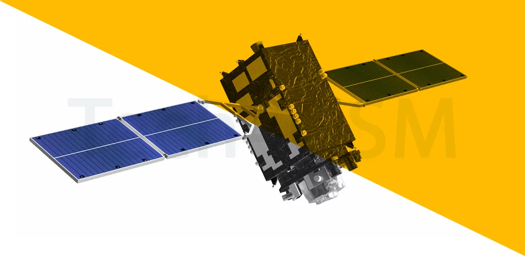
QZSS Basics: Japan’s GPS Sidekick
- QZSS stands for Quasi-Zenith Satellite System.
- It’s Japan’s regional satellite network, designed to work with GPS, not replace it.
- Only 4 satellites make up QZSS (compared to GPS’s 30+), but they’re strategically placed to focus on Japan.
- Fun Fact: “Quasi-Zenith” means the satellites are almost always near Japan’s sky, like guardians watching overhead!
Why Did Japan Create QZSS?
Japan’s cities are famous for dense “urban canyons”—streets surrounded by tall buildings that block GPS signals. QZSS solves this by:
- Filling GPS Gaps: Its satellites send signals at steep angles, reaching places GPS can’t (like narrow streets).
- Boosting Accuracy: QZSS sharpens GPS precision to within centimeters for critical tasks (e.g., self-driving cars).
- Emergency Ready: During earthquakes or disasters, QZSS sends real-time alerts to phones and devices.
How Does QZSS Work?
- The 4 Satellites Follow a Unique Path: They orbit in a figure-eight pattern over Japan, ensuring at least one is always high in the sky.
- Teamwork with GPS: QZSS doesn’t work alone—it enhances GPS signals. Think of it as a GPS “amplifier” for Japan.
- Coverage Focus: While usable in nearby regions like Australia, QZSS is optimized for Japan’s needs.
Where is QZSS Used? More Than Just Maps!
Beyond helping you navigate Tokyo’s maze-like streets, QZSS powers:
- Self-Driving Vehicles: Precise positioning keeps autonomous cars safe.
- Farming Tech: Guides tractors and drones for efficient planting.
- Disaster Alerts: Sends earthquake warnings seconds before shaking starts.
- Smartphones: Modern phones in Japan use QZSS for faster, more reliable maps.
QZSS vs. GPS: What’s the Difference?
- GPS: Global coverage, 30+ satellites (USA-owned).
- QZSS: Regional focus, 4 satellites (Japan-owned), designed to boost GPS in tricky areas.
- Team Players: QZSS and GPS work together—like a navigation superhero duo!
Why QZSS Matters for the Future
- Urban Innovation: As cities grow taller, QZSS-style systems will keep navigation reliable.
- Tech Advancements: Supports augmented reality (AR) apps and drone deliveries.
- Safety Net: Lifesaving during natural disasters.
The Pros and Cons of QZSS
Pros:
- Pinpoint accuracy in cities.
- Reliable signals during emergencies.
- Reduces Japan’s reliance on foreign GPS.
Cons:
- Limited use outside Japan.
- Requires GPS to function fully.
Final Thoughts
QZSS is like a high-tech safety net for Japan’s skies—making sure no one gets lost, even in a concrete jungle! While most of the world depends on GPS, Japan’s clever satellite twist shows how innovation can solve local problems.